The 2016 Consumer Confidence Report is now available and can be seen by clicking here.
Ruby Ranch Water Supply Corporation Open Meeting
Ruby Ranch Water Supply Corporation will hold an open meeting on Thursday, June 8, 2017 at 7:00 P.M., at 100 Creekside Drive, Buda, Hays County, Texas 78610. The meeting agenda may be viewed here
Aquiter News from Barton Springs/Edwards Aquifer Conservation District


|
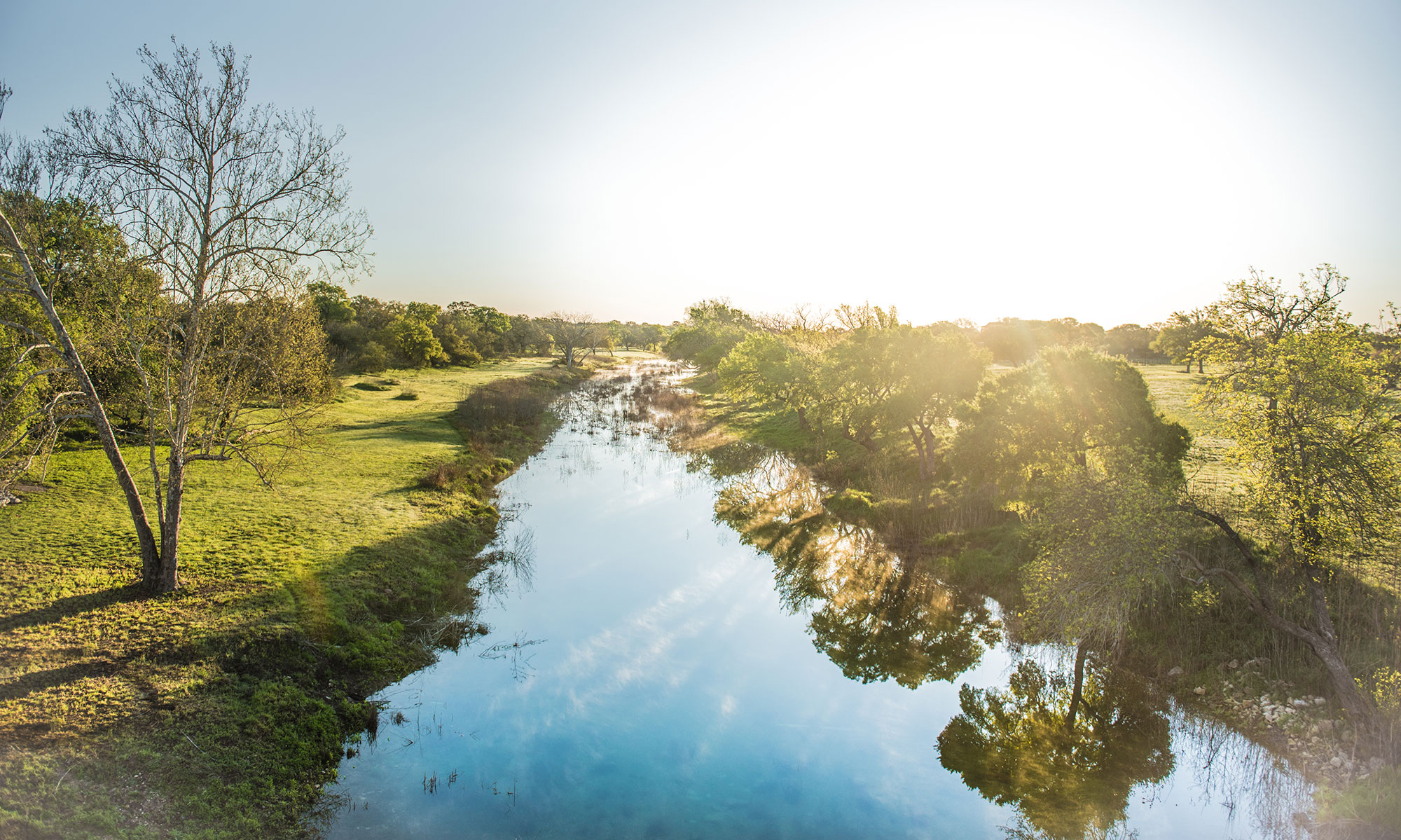
On Wednesday, April 19, 2017 the District hosted the annual Well Water Checkup. The District covered the cost of a basic water analysis, which screened for fecal coliform bacteria, nitrate, nitrite, and total dissolved solids (TDS) for 39 well samples.
Twenty-one of the 39 well water samples tested positive for total coliform bacteria. Three of those samples tested positive for E. coli (fecal) coliform bacteria. Some of the samples analyzed did contain detectable quantities of nitrate, but all were below the maximum concentration of 10 parts per million (ppm) deemed acceptable for drinking water by the EPA. All nitrite results were below the EPA standard of 1 ppm. Total dissolved solids (TDS) in water is analogous to salinity. Edwards Aquifer wells typically have TDS values between 250-450 ppm; Trinity Aquifer wells have higher variability and generally range from 700-1600 ppm.
The District’s Well Owner’s page has a Well Owner Guide, Local Water Quality Lab addresses and info, and useful links. Those links include Texas Well Owner Network informative fact sheets that address most water quality questions, treatment options, and maintenance strategies.
|


| Groundwater to the Gulf: A Summer Institute for Educators
There are only a few slots remaining for this summer’s Groundwater to the Gulf: Summer Institute for Educators! Join us on June 13-15, 2017! The Aquifer District, in collaboration with 12 other agencies, helps host this annual 3-day, field-trip-based, hands-on training. Dip your hands into local water topics and try activities that help bring those topics back to your classroom.
Visit the Groundwater to the Gulf Registration page for more details including photos from years past, registration link, and partners and sponsor information.
|
